Photogrammetry Services in the UK
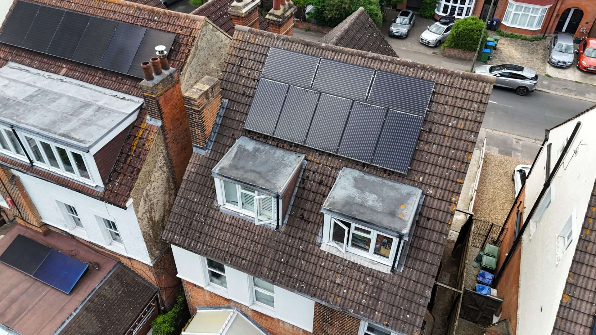
At Aerial Operations, we harness the power of photogrammetry to provide precise 3D models and maps tailored to diverse industry needs. Using advanced drone technology, we capture overlapping photographs and process them into actionable data for projects across the UK. From architecture to archaeology, our photogrammetry services offer unparalleled detail and accuracy. Whether for design, analysis, or monitoring, Aerial Operations ensures you have the insights needed to make informed decisions and achieve project success.
What is Photogrammetry?
Photogrammetry is the science and art of obtaining reliable information about physical objects and the environment by recording, measuring, and interpreting photographic images and patterns of electromagnetic radiant imagery. In simpler terms, it involves using photographs to create detailed 3D models or maps. By capturing multiple overlapping photographs of an object or area, specialised software analyses the images to extract 3D information, providing a precise representation of the subject.
Photogrammetry in Architecture
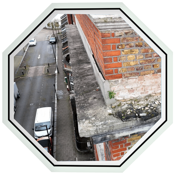
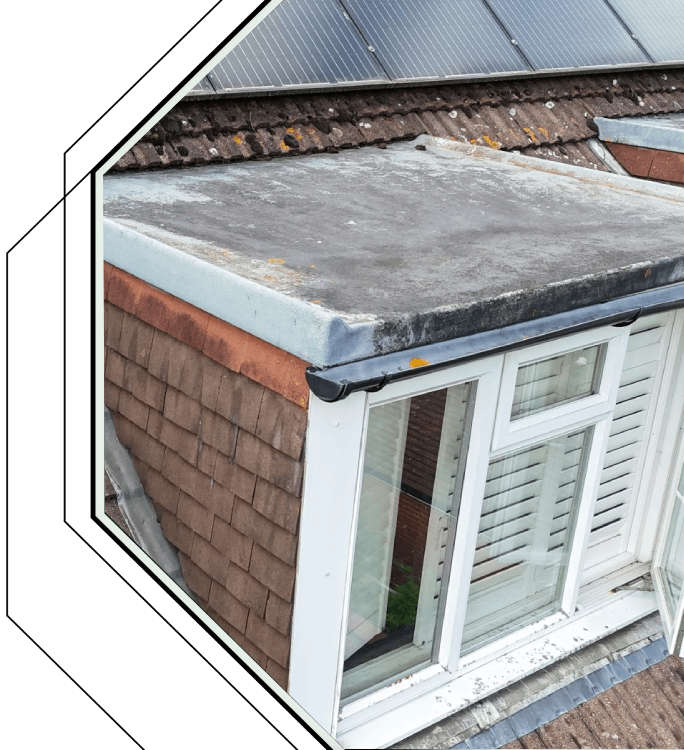
Photogrammetry is a valuable tool in architecture, enabling the creation of detailed 3D models of buildings and structures. These models support design, renovation, and construction projects by offering precise visualisations and measurements. With Aerial Operations, architects gain reliable data to streamline workflows and improve project outcomes.


Contact us today to explore how our photogrammetry services can enhance your projects!
Contact
More Links
© 2024 Aerial Operations