Aerial Surveying Services in the UK
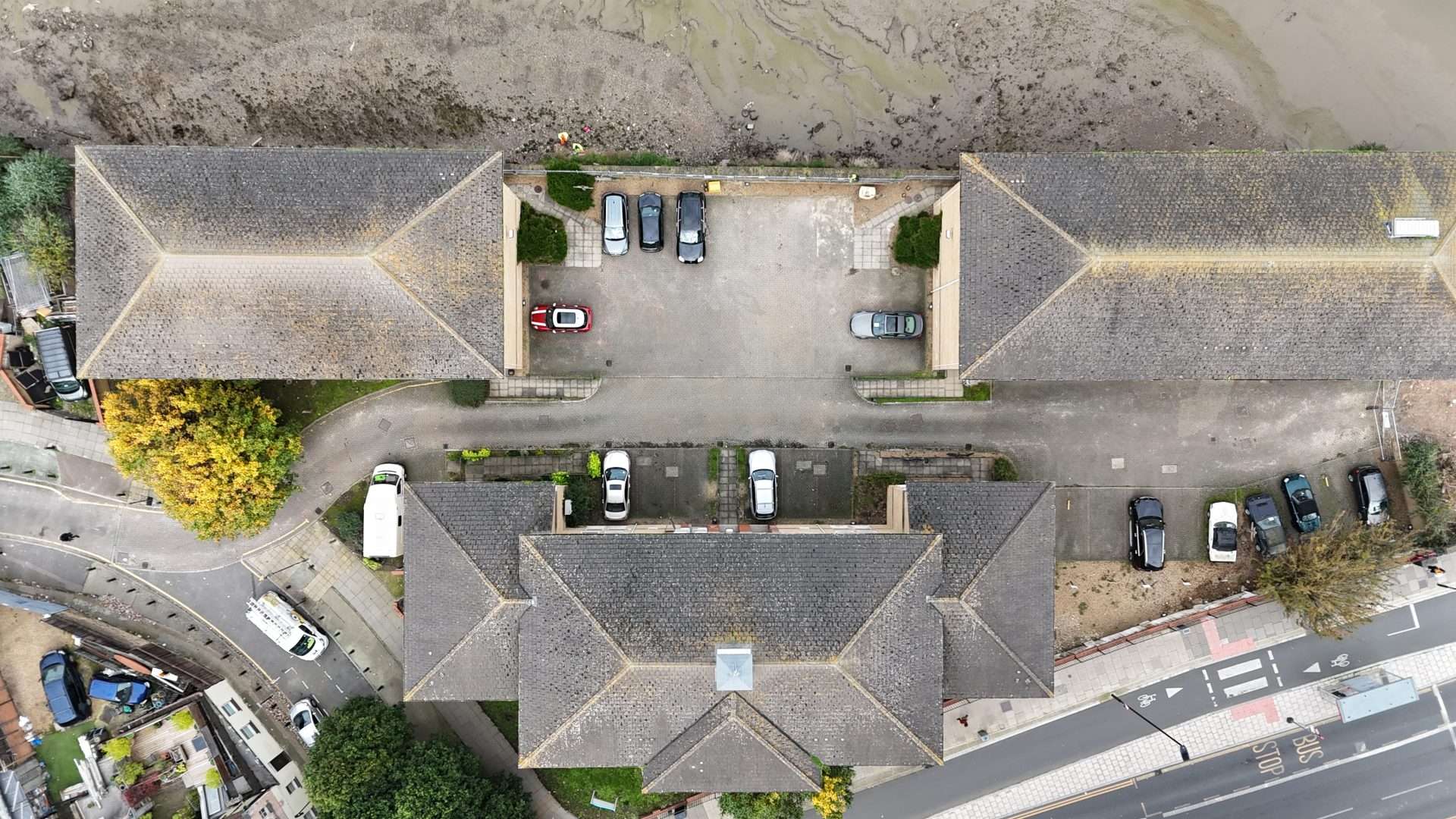
Aerial surveying is transforming the way industries gather and analyse data. At Aerial Operations, we use state-of-the-art drone technology to deliver precise, efficient, and comprehensive surveying services across the UK. This innovative approach captures high-resolution imagery and data over expansive areas, providing actionable insights for a variety of applications. From land development to environmental monitoring, our aerial surveying solutions are tailored to meet specific project needs, ensuring accuracy, reliability, and success.
What is Aerial Surveying?
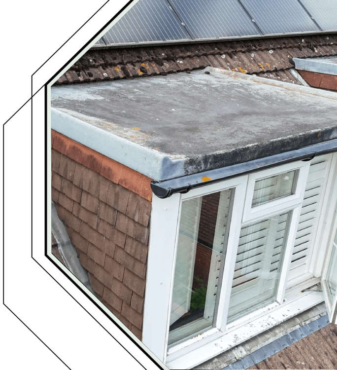
Aerial surveying is the process of collecting data from elevated positions using drones equipped with high-resolution cameras and advanced sensors. This modern method provides fast and accurate mapping, covering large areas with ease. It has become an essential tool for industries requiring detailed topographical information, offering precision and efficiency unmatched by traditional surveying techniques.


Land and Property Surveying with Drones
Aerial Operations specialises in aerial surveying for land and property projects. Our drone surveys create accurate maps, establish clear property boundaries, and assess land value. Whether you need to monitor land use changes or plan developments, our high-resolution data supports landowners, developers, and property managers in making informed decisions across the UK.


Choose us for accurate, efficient drone surveying solutions across the UK. Contact us today!
Contact
More Links
© 2024 Aerial Operations