
Experience Precision and Insight from Above
Discover how our aerial surveying services provide accurate data capture and detailed analysis of elevated structures, ensuring safety and efficiency.
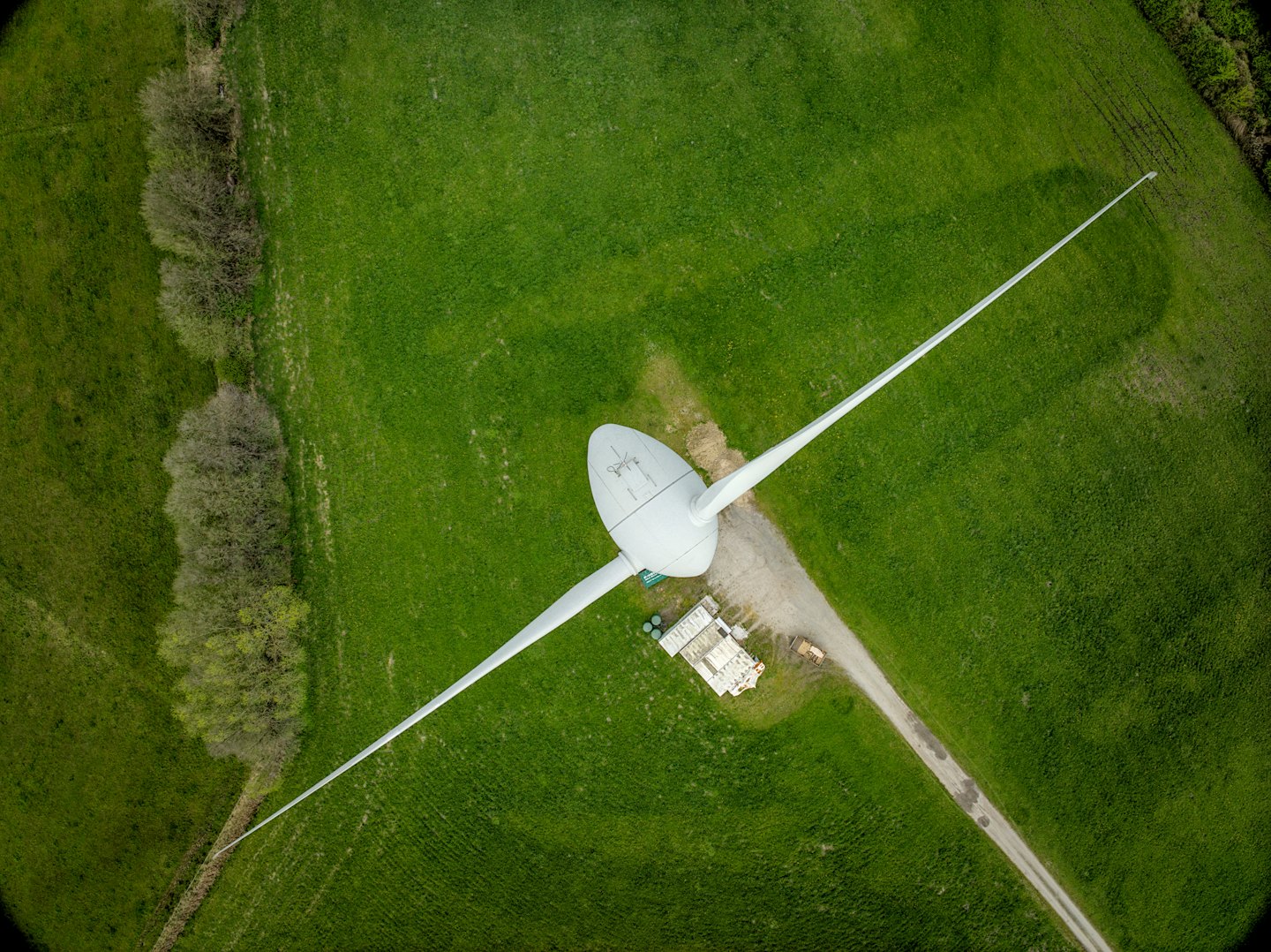

Comprehensive Data Collection
Utilizing advanced high-resolution cameras, we capture precise imagery and measurements from hard-to-reach areas to inform your project decisions.

Enhanced Safety and Accessibility
Our drone-based inspections eliminate the need for risky manual surveys, making it safer and more cost-effective to assess elevated sites.

Timely and Efficient Reporting
We deliver fast, detailed reports that help you quickly understand structural conditions and plan maintenance or repairs with confidence.
Advanced Aerial Surveying Solutions
Discover our expert aerial surveying services that utilize cutting-edge cameras to capture precise data from challenging elevated locations.
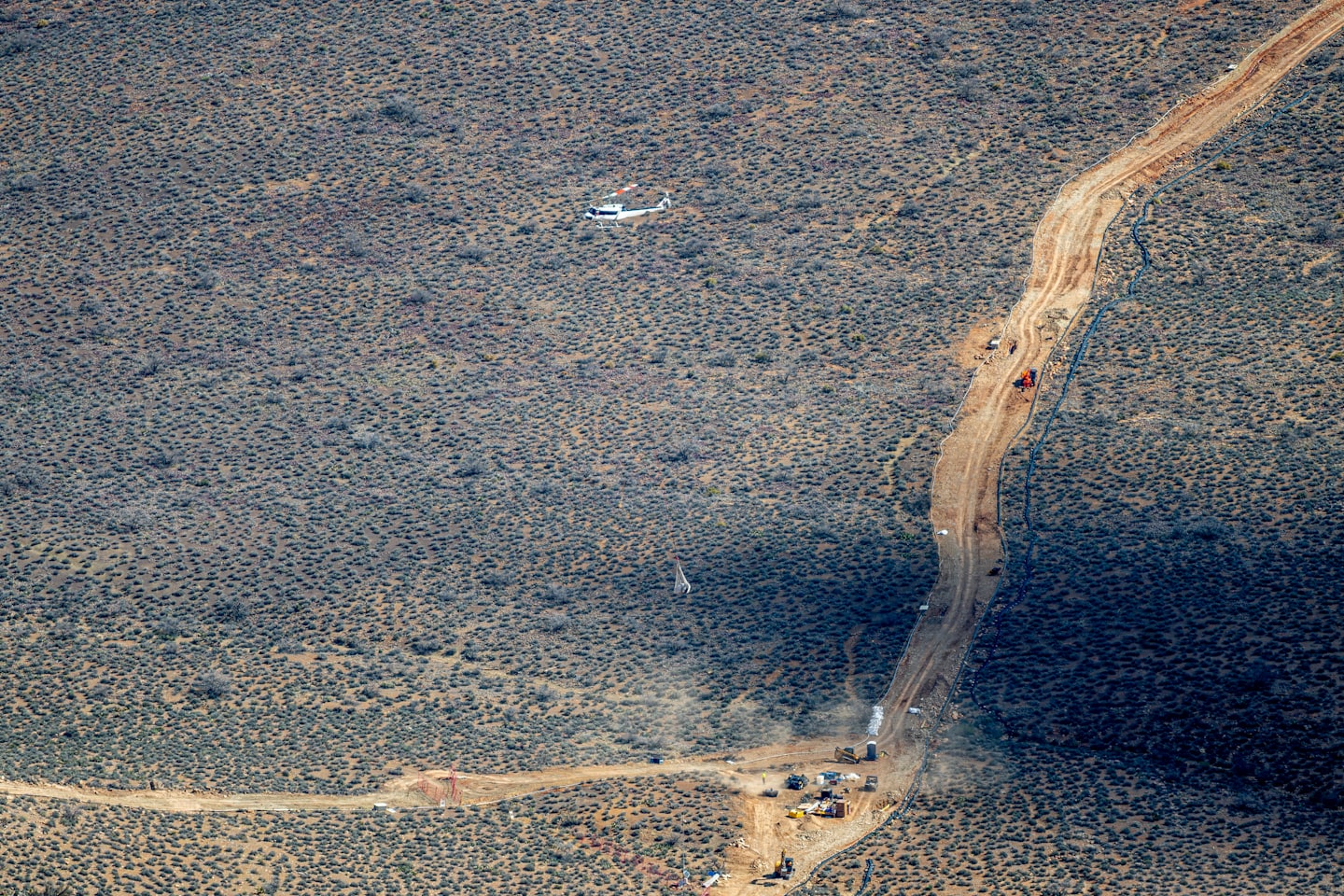
Roof Inspection Services
Comprehensive rooftop assessments using high-resolution imaging to identify issues accurately and efficiently.
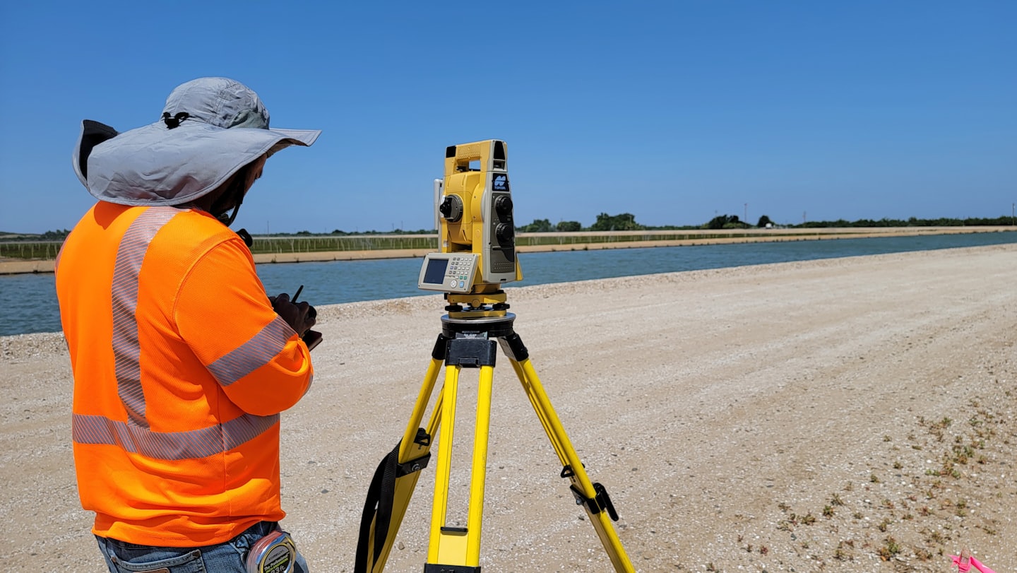
Structural Analysis Surveys
Tailored aerial inspections that assess structural integrity for informed decision-making.
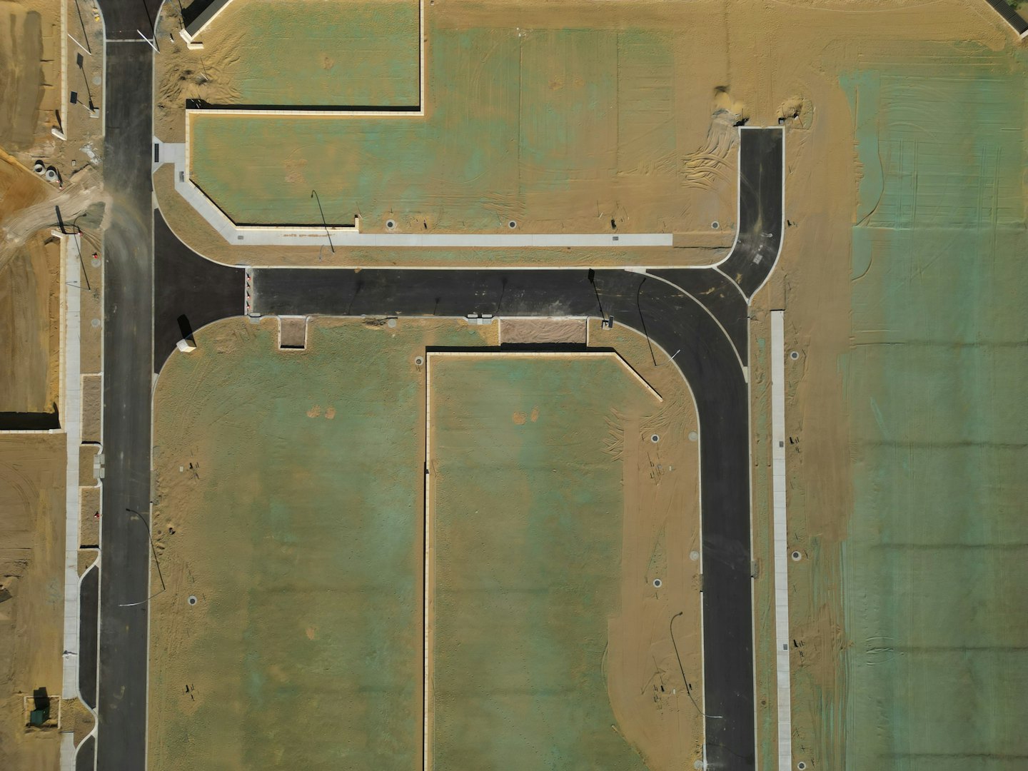
Environmental Monitoring
Specialized aerial data collection designed to provide reliable insights for environmental assessments.
Our Aerial Surveying Process
Discover how our expert team employs cutting-edge aerial technology to capture detailed data and provide insightful analysis for your project.

Step One: Initial Assessment
We begin by evaluating your site to customize the aerial survey approach for precise data collection.

Step Two: Data Collection
Utilizing advanced drones equipped with high-resolution cameras, we capture comprehensive imagery and measurements.

Step Three: Analysis & Reporting
Our specialists analyze the collected data to generate detailed reports, ensuring actionable insights and accuracy.
Discover Our Expert Aerial Surveying
This section details our advanced aerial surveying services, showcasing how we capture precise data from elevated perspectives using high-quality imaging technology.
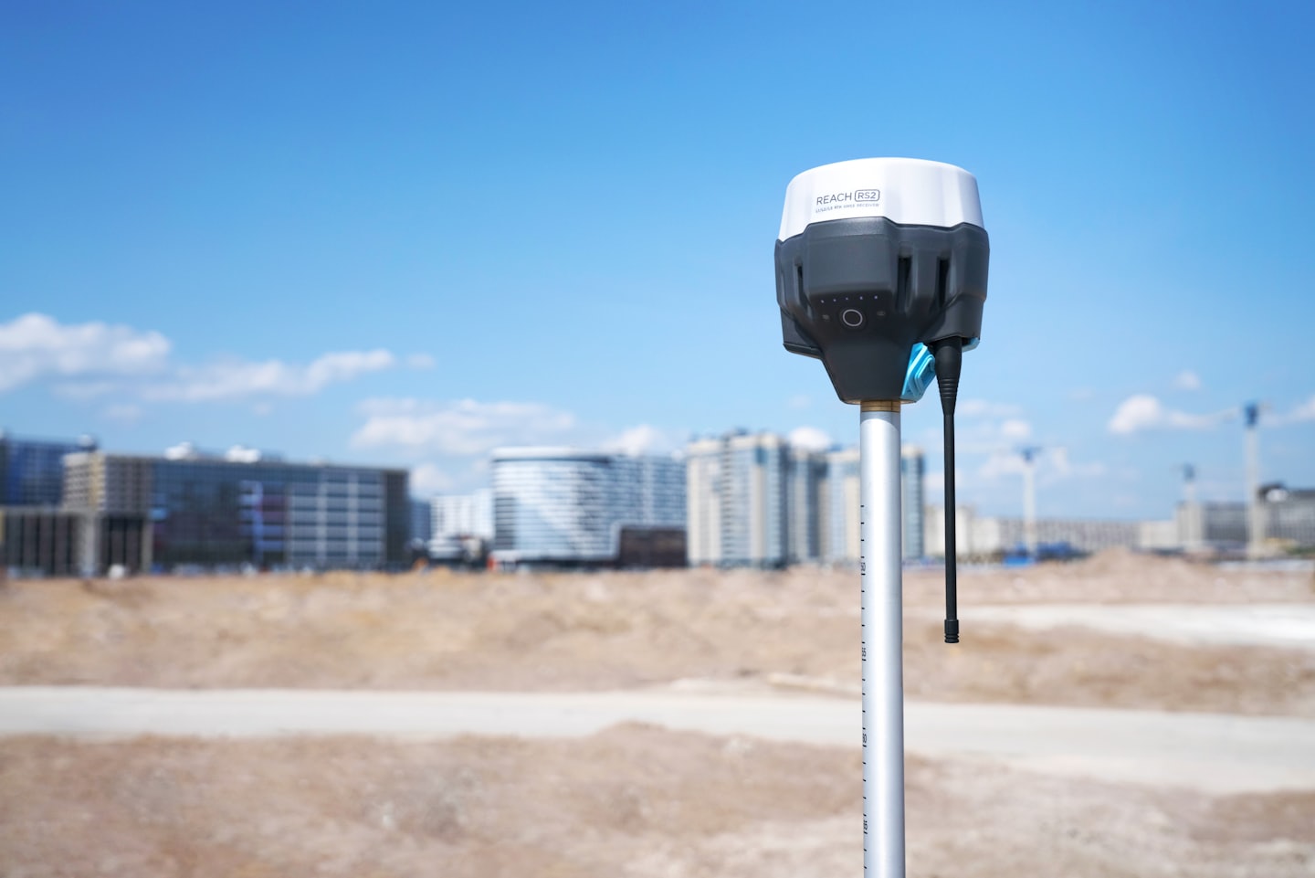
High-Resolution Imaging
Utilize cutting-edge cameras to capture detailed visuals of hard-to-access areas with unmatched clarity.
Comprehensive Data Analysis
Process and interpret aerial data to deliver actionable insights for construction, inspection, and mapping.
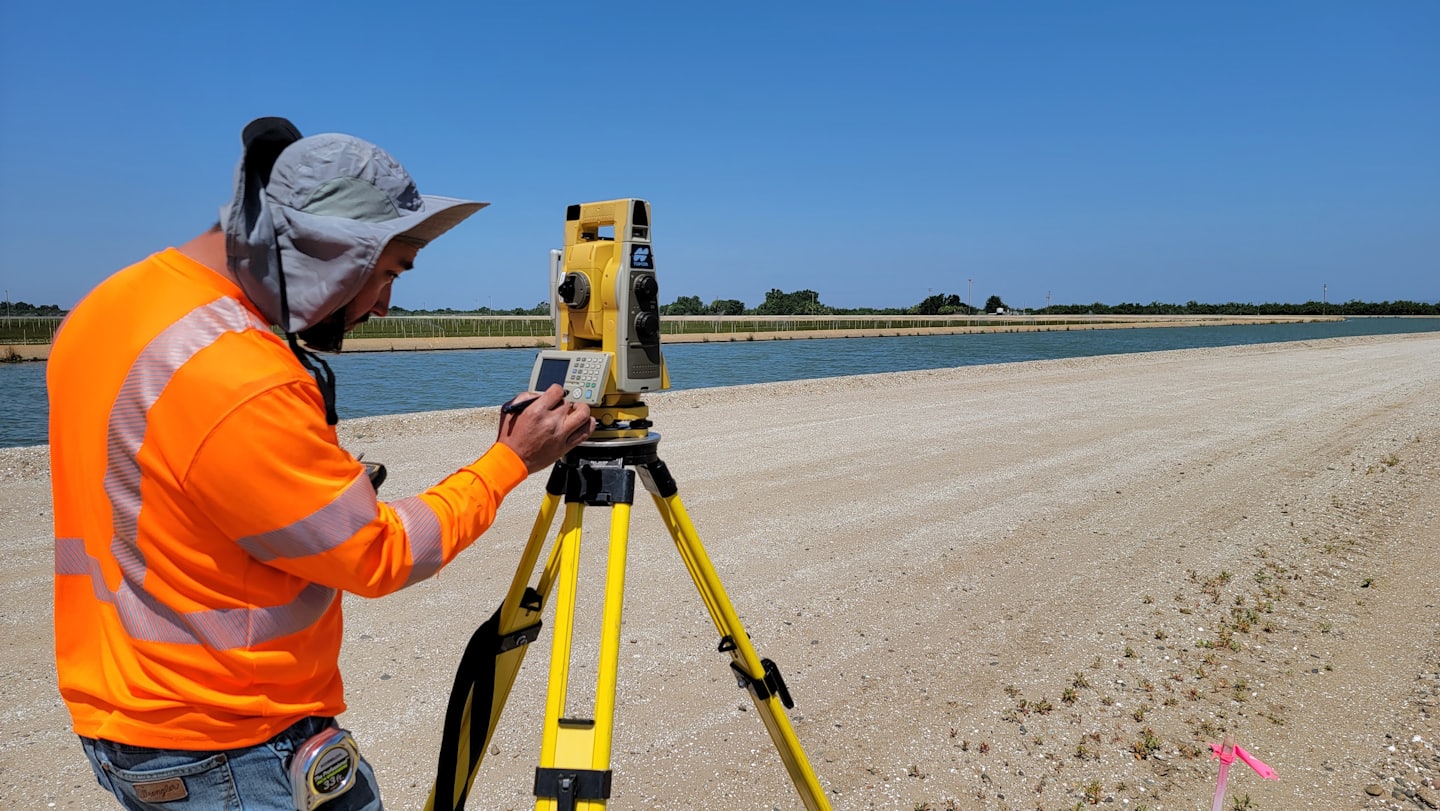
Elevated Access Inspection
Inspect rooftops and elevated structures safely and efficiently without the need for scaffolding or ladders.
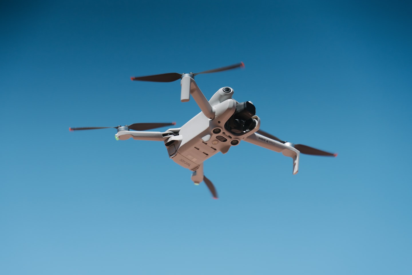
Efficient Survey Execution
Conduct fast, accurate aerial surveys that minimize downtime and maximize project efficiency.
Customer Testimonials
Hear directly from our clients about how our aerial surveying services have exceeded their expectations with precision and professionalism.

Their expertise and attention to detail ensured our rooftop inspection was thorough and timely, providing invaluable insights.

Michael Reynolds
Project Manager
The team’s use of advanced imaging technology and careful analysis impressed us with their professionalism and accuracy.

Samantha Lee
Site Engineer
We were thoroughly impressed by the efficiency and clarity of the aerial survey, which greatly aided our project planning.

David Martinez
Operations Director