Elevating Surveying and Photogrammetry Across the UK
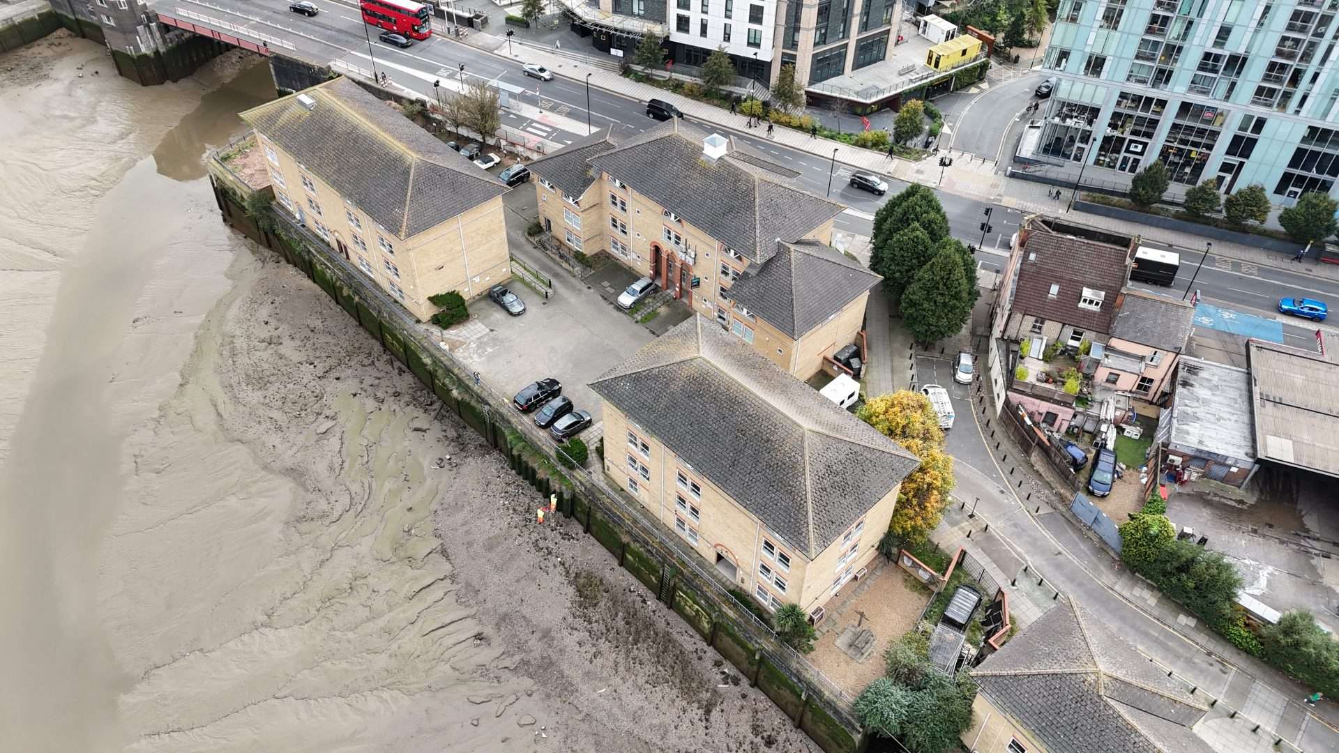
At Aerial Operations, we redefine data collection with state-of-the-art drone technology. Specialising in aerial surveying and photogrammetry, we capture precise, detailed data to transform landscapes into actionable insights. Serving clients across the UK, we combine innovation with technical expertise to deliver bespoke solutions that exceed expectations. Whether you require topographical mapping, volumetric calculations, or high-resolution 3D models, our services ensure accuracy, safety, and efficiency every step of the way.
Aerial Surveying Solutions
Our drone-based aerial surveying services are designed to provide unrivalled precision. Equipped with advanced sensors and high-resolution cameras, our drones meticulously capture data over large areas, producing topographical maps, volumetric measurements, and accurate elevation profiles. These insights enable clients to streamline operations, reduce costs, and enhance decision-making processes.

Photogrammetry Expertise
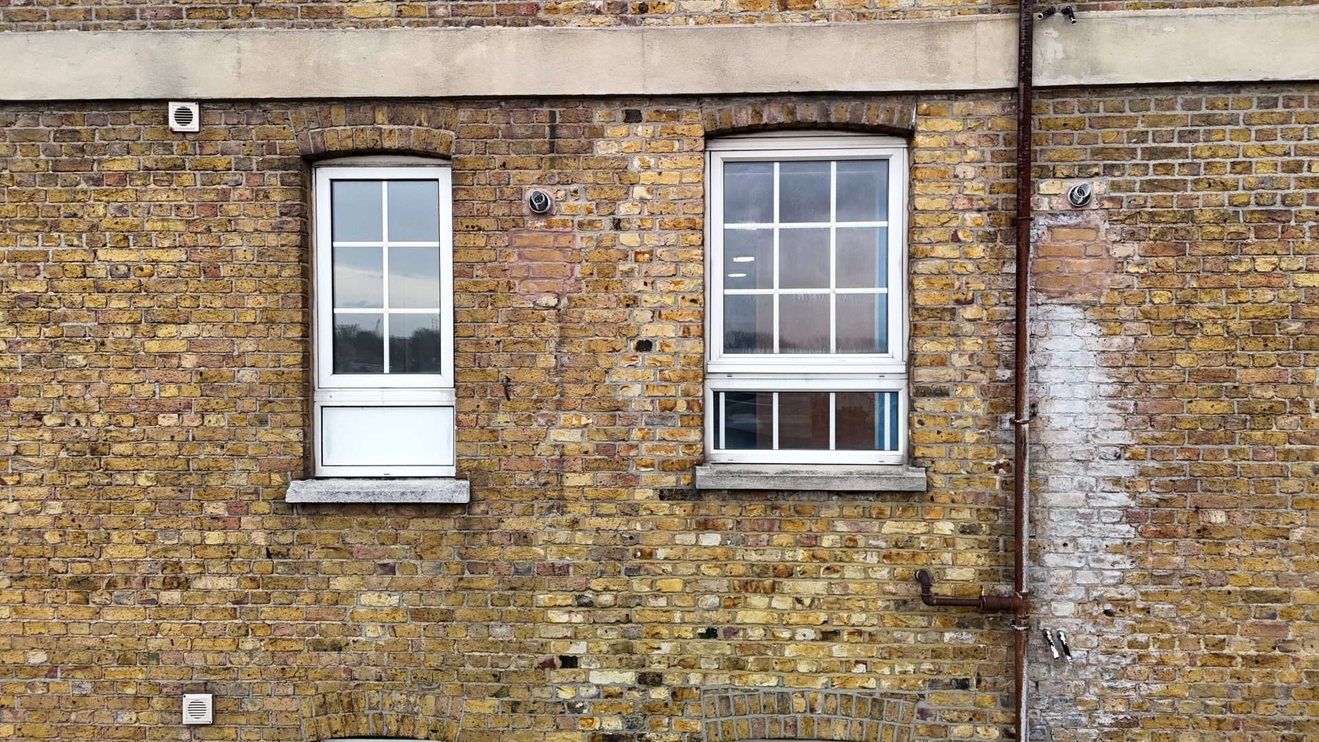
Through innovative photogrammetry techniques, we transform aerial imagery into high-resolution 3D models, orthomosaics, and digital surface models. This technology provides a detailed view of landscapes, allowing for in-depth analysis and effective problem-solving. From construction planning to environmental monitoring, our photogrammetry services empower industries with actionable data.
Commitment to Excellence
Aerial Operations prioritises quality, safety, and sustainability. Our skilled team adheres to rigorous safety standards while employing non-invasive methods that minimise environmental impact. By combining expertise with cutting-edge technology, we ensure every project is completed with accuracy and professionalism, tailored to your specific requirements.



Precision Redefined:
Enhance your projects with our advanced drone technology. Accurate, efficient, and dependable aerial data at your service.

See the Bigger Picture:
Discover hidden insights with our specialist aerial surveying and photogrammetry services. Converting landscapes into actionable information.
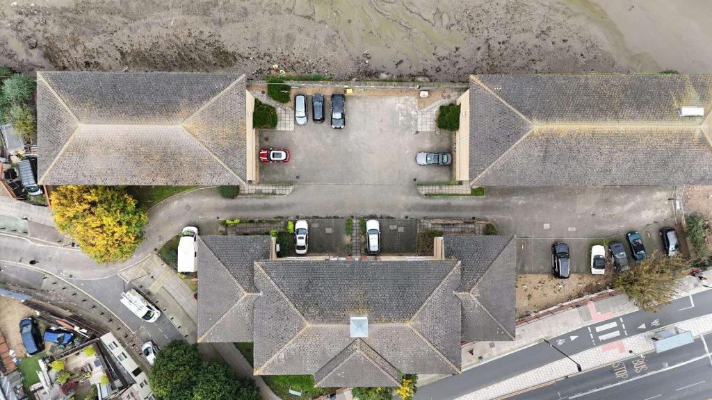
Aerial Surveying
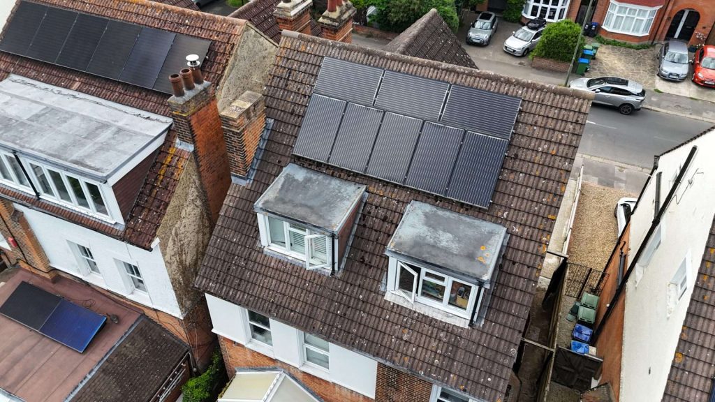
Photogrammetry
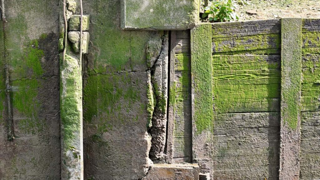
Our Models


Experience precision aerial surveying and photogrammetry—contact us for accurate, efficient, and sustainable solutions today!
© 2024 Aerial Operations
